High‑pressure (subsidence) inversion
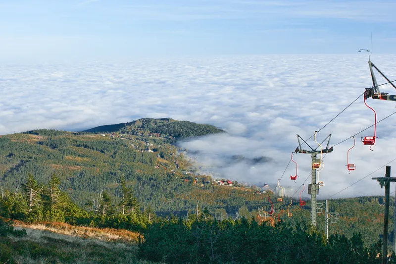
Under a high, air slowly descends, warming and drying as it does. Beneath it a cool, moist layer remains. The boundary between them is a ready‑made duct that can last all day, and under a stationary high for several days in a row.
Radiative (night‑time) inversion
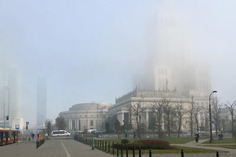
On a clear, windless night the ground cools rapidly and chills the air just above it. Higher up it remains warmer. Such a layer is shallow, follows the terrain, and usually vanishes shortly after sunrise. Hepburn notes that a shallow nocturnal inversion can even hinder reception of long‑distance signals from a high‑pressure tropo.
What about tropo over the sea?
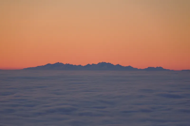
Honestly: according to Hepburn, maritime tropo is best in spring and early summer, not in autumn. Measurements from the island of Utö in the Baltic confirm this. Atmospheric profiles there showed ducts also in autumn, for about 40% of the time, but shallow and weak: an X‑band radar saw beyond the horizon through them only 1% of the time, compared with 37% in spring and 42% in summer. The authors write that in autumn and winter a shallow, weak duct near the sea surface often appeared in the profiles. And on 2 m you need a layer about 180 m thick. From central Poland the paths are mainly over land, though, and DXMaps states plainly that land‑based tropo is frequent outside summer.
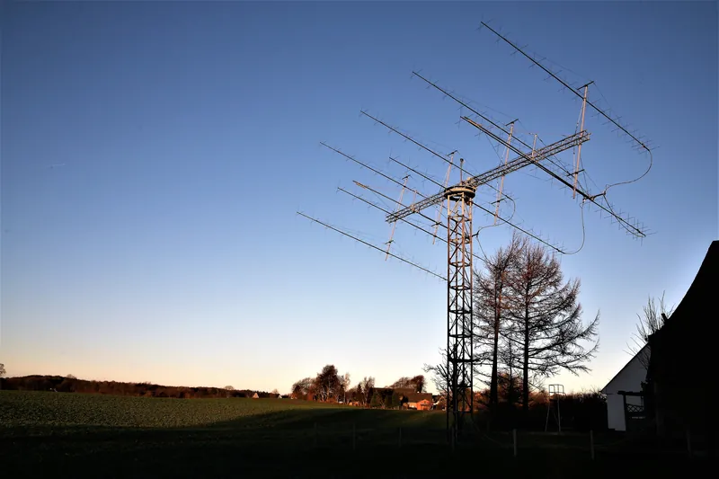
The strongest argument comes from Polish data. On the PK‑UKF tropospheric distance‑record list for 432 MHz, all 12 entries are dated between 31 August and 21 December. The Polish record on 144 MHz was set on 26 October.